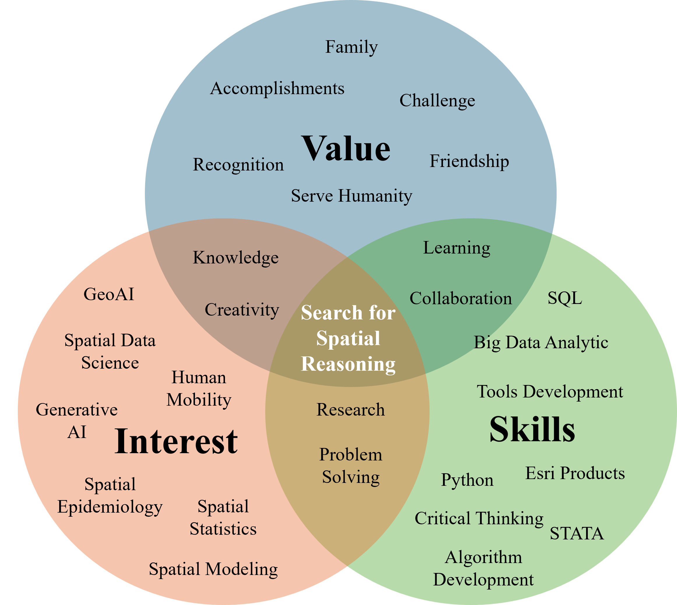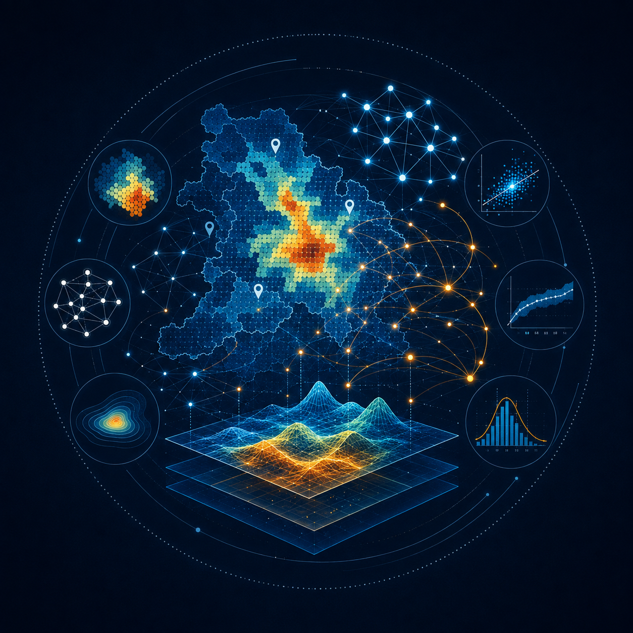
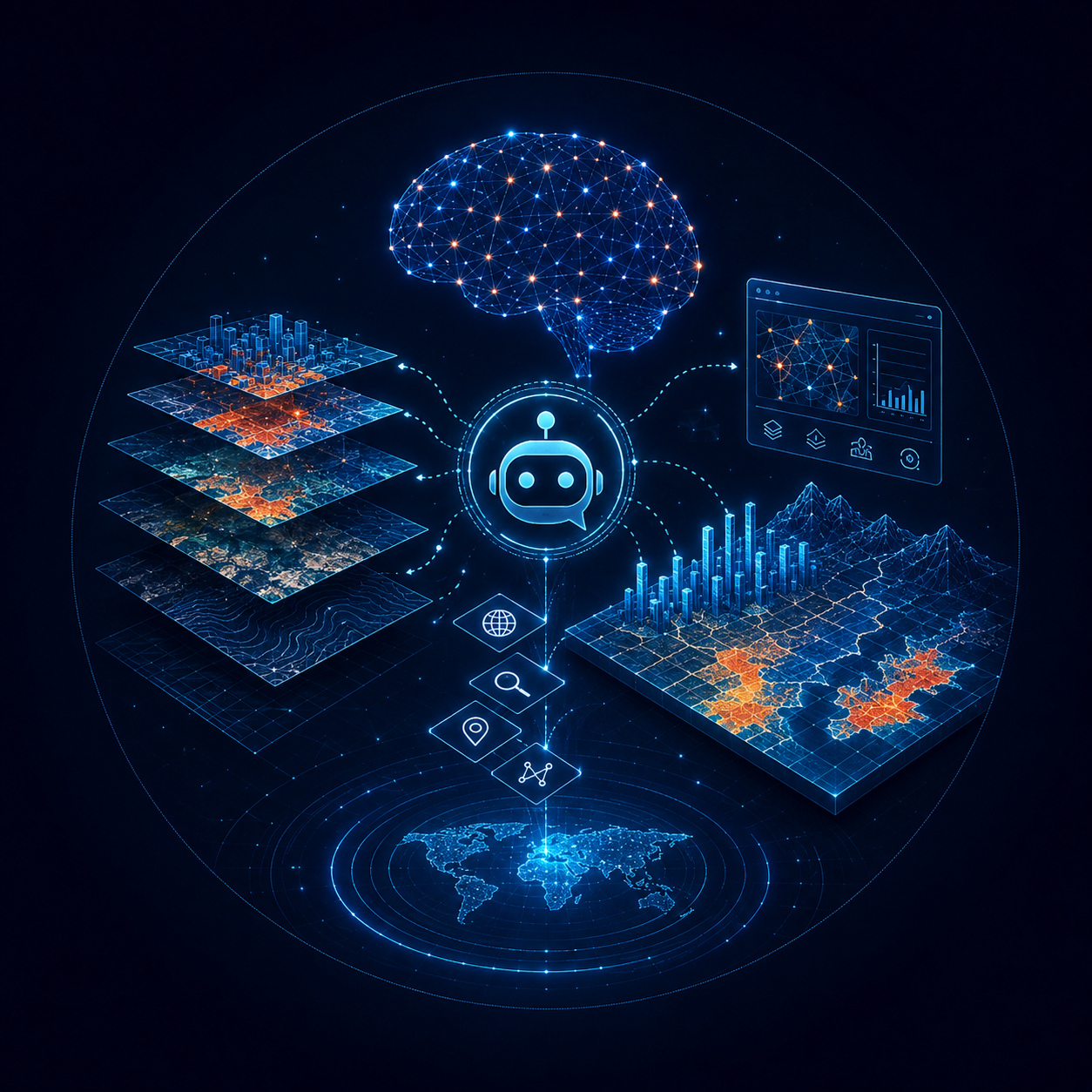

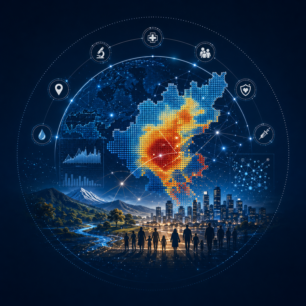
I am a geospatial data researcher interested in using spatial data, statistical modeling, and artificial intelligence to generate insights with meaningful societal and public-health applications. My research spans spatial statistics, geospatial big-data computing, GeoAI, large language models (LLMs), and spatial epidemiology. I also have experience in algorithm development, particularly from my earlier work in cartography and computational optimization. I am currently a Ph.D. candidate in Geographic Information Science at The Pennsylvania State University.
My work is highly interdisciplinary, and I have had the opportunity to collaborate with researchers across multiple institutions, including Harvard Medical School and the Arnold School of Public Health at the University of South Carolina. A major component of my research focuses on developing local spatial regression models that better capture geographic heterogeneity and spatially varying relationships. I have also contributed to research on LLM-enabled spatial analysis and autonomous GIS, cartographic methods, human mobility, and a range of public-health applications, including HIV, gonorrhea, chlamydia, lung cancer, obesity, and mental health.
Much of my applied research uses large-scale smartphone-based mobility and place-visitation data to understand how people interact with places and how these patterns relate to health and social outcomes. I am also interested in the representativeness of these emerging data sources. My work has examined geographic, demographic, and place-based biases in commercial mobility data across multiple spatial scales in the United States, with the broader goal of understanding when such data can be reliably used for scientific research and decision-making.
Looking forward, I am particularly interested in expanding my research in Bayesian spatial modeling, climate-sensitive infectious disease epidemiology, and the use of LLMs for spatial analysis and public-health decision support. I am also interested in leveraging large-scale consumer and mobility data to better understand population behavior, activity patterns, and their relationships with health and place. Across these research areas, place is a central organizing concept in my work: where people live, where they travel, the environments they experience, and how geographic context shapes both opportunities and health outcomes. I welcome opportunities for interdisciplinary collaboration and conversations around these topics.
My interest in computational GIS began during my master’s studies, when I worked on optimization algorithms for automated map annotation. Geographic feature label placement is a computationally challenging optimization problem, particularly when many features must be labeled simultaneously while minimizing overlap and maintaining cartographic quality. My colleagues and I developed genetic-algorithm-based approaches for multiple geographic feature label placement and later extended this work using parallel computing with the Message Passing Interface (MPI) to improve computational efficiency. This experience gave me a strong foundation in algorithm development, optimization, parallel computing, and scientific programming that continues to influence my current research.
A small but important part of my academic journey began much earlier. During my undergraduate studies in Geodesy Engineering, I took two GIS courses that completely changed the direction of my interests. Since then, my research has remained centered on one broad question: how can geographic data and computational methods help us better understand people, places, and the processes that connect them?